

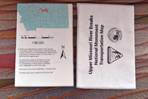
Description
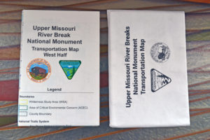
Upper Missouri River Break National Monument Transportation Map
Map Projections: NAD 83 UTM Zone 12N
Visitors can find detailed information about the monument on the map, including locations of: primitive and developed campsites, hiking trails, open roads, landing strips, boat ramps, land ownership, day-use sites and more. This map features both east and west sides of the UMRBNM. It is an excellent resource if you are planning on exploring the uplands and will be doing more driving.
Generated by the Havre BLM Field Office- October 2016


