
About Us
Our mission is to protect and preserve the Monument by educating the public, advocating for responsible access and environmentally responsible uses, and to support groups and agencies that protect and restore the Monument.
Donate
FMB relies on donations from people like you to complete our mission. Whether it is planting cottonwood trees, hiring seasonal stewards, organizing letter writing campaigns, or developing STEM education, your donations provide the support needed to advance our efforts. Click below to make a donation to FMB.
Get Involved
The work that the Friends of the Missouri Breaks Monument (FMB) does wouldn’t be possible without the support of our members and volunteers. Whether it is planting cottonwood trees along the Missouri River, creating adult education workshops, or advocating for the proper management of the monument, we couldn’t do it without your support. Learn more about how you can get involved with FMB.
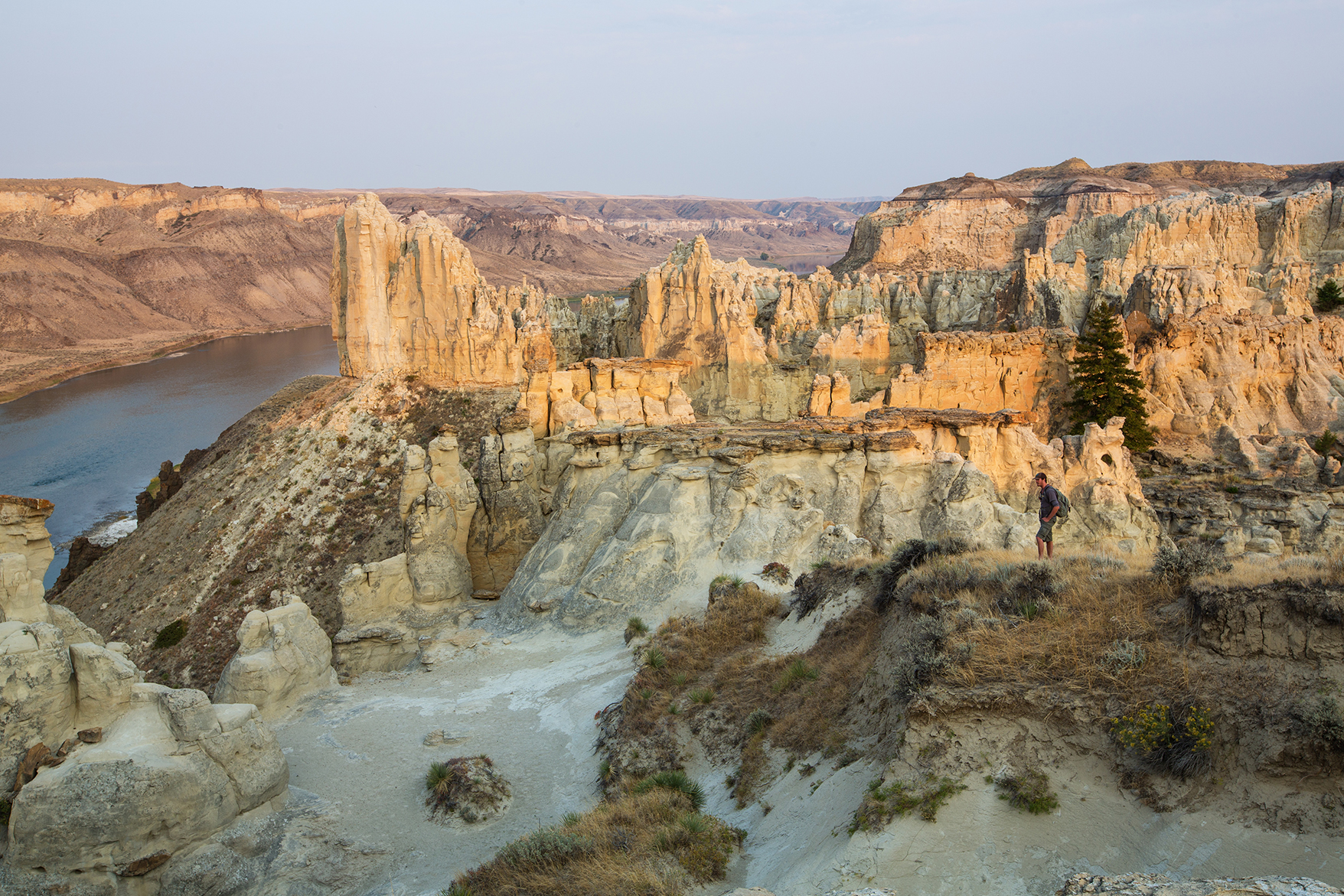
The Breaks
Newsletter
Find out what the current happening are with the Friends by checking out our most current newsletter. You can expect to find a new edition of the Friends' newsletter each spring and fall!
Contact Us
Do you have questions or comments about what we are doing?
We would love to hear from you!
Phone: (406) 310 9572
Email: info@missouribreaks.org
Mailing Address: PO Box 1932 Helena, MT 59624
Media
FMB is proud to provide opportunities for volunteers to give back to public lands through stewardship events within the Upper Missouri River Breaks Monument, and we are regularly found throughout Montana promoting recreation and raising awareness for the Monument.